
A clearer view
of your place.
The map is the main screen in Batten. Make it useful for the people who work on your farm.
Start with what’s included.
Search your address and choose one or more LINZ land parcels. Standard LINZ aerial imagery gives you a base to work from.
Trace paddocks and add gates, troughs, pipes, water tanks and other features. Publish the farm when you’re ready to use it.
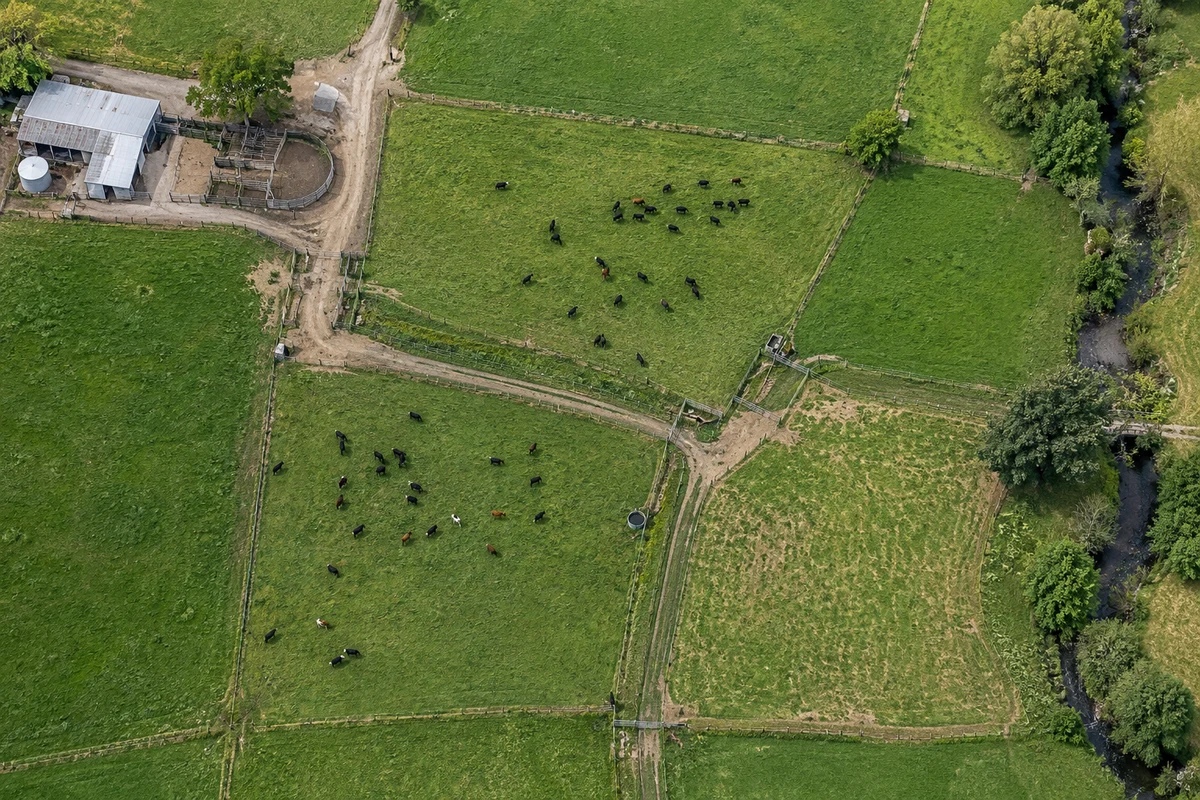
Your place, from the start.
Choose one or more land parcels. Start with included aerial imagery, then add your paddocks and farm features.
A drone aerial
if it suits your farm.
Upload an existing GeoTIFF, or talk to us about capturing one. Batten prepares the upload for web use and crops it around your selected boundaries.
A properly captured drone map can offer more detail and better positional accuracy. It’s optional, with suitable local trial flights by arrangement.
Do I need a drone map?
No. LINZ aerial imagery is available as standard. A properly captured drone aerial can provide more detail and better positional accuracy. Suitable local trial farms may receive one by arrangement; it is not automatic.
Can I upload an existing drone aerial?
Yes. Upload a GeoTIFF. Batten prepares it for web use and crops it around your selected boundaries, with an offset. You can then trace paddocks and add farm features.
What happens if I leave?
Paddock and mapping information remains linked to the land parcels so you can return later. Jobs and their photos are deleted when the job is completed. If Batten does not continue beyond the trial, we can provide a PDF of the farm map created for you. Full data arrangements will be set out in the trial agreement.
Try it on your farm.
Help shape what comes next.
Free for up to a year while you use it regularly and contribute feedback. Start with a phone call, then a demo or a local farm visit.